Monitoring Burn Severity in La Primavera
- irt466
- Jul 23, 2019
- 1 min read
Updated: Jul 24, 2019
Utilizing two satellite derived products (NDVI and NBR) and applying a statistically sounding method we have produced burn severity maps of La Primavera from 2003 to 2016

La Primavera is a Protected Flora and Fauna Area located at the metropolitan area of Guadalajara. You may think of it as the lung of the second largest city in México and this lung is constantly at danger due to the high frequency of fire events.
In this study we utilize data cubes (900 x 100 x 322) of Landsat images across a time span of 14 years and identify areas affected by burns (naturally or human caused). By doing such a long time monitoring our study allows us to pin point those areas affected by fire and also to keep track of vegetation's recovery (when pertinent).
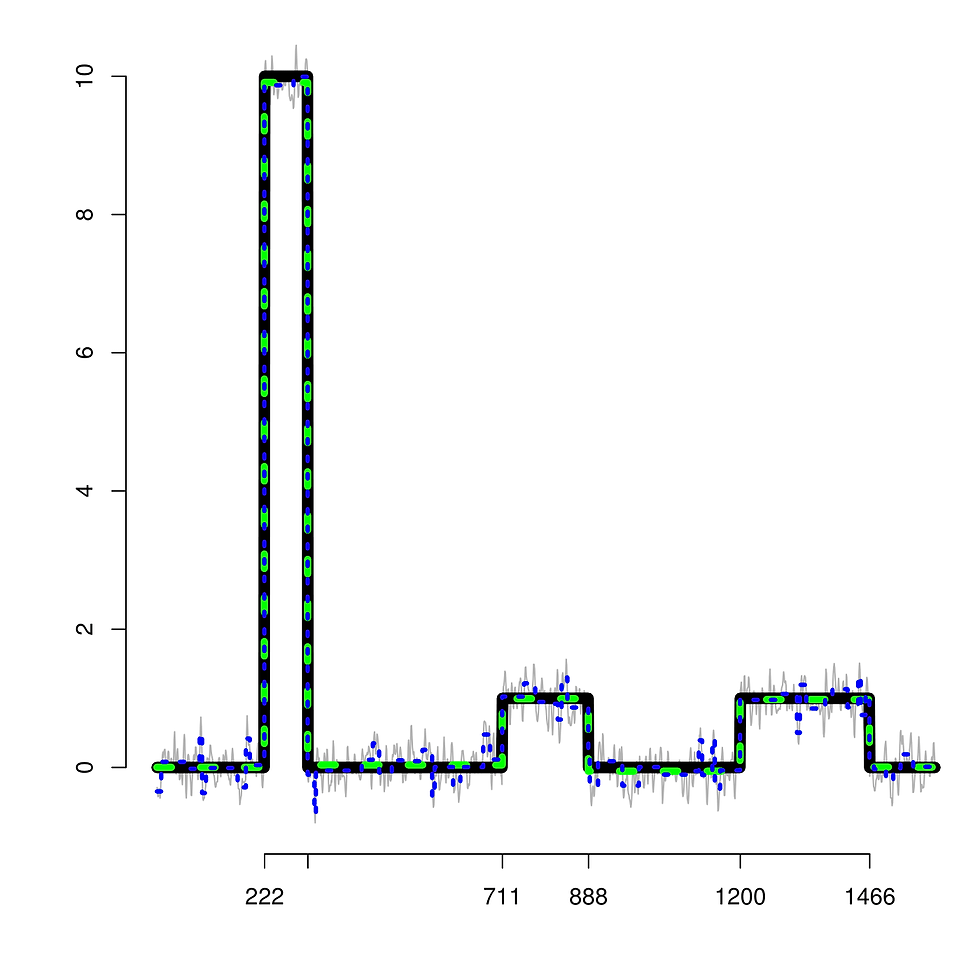
The map above shows our findings for the year 2012. Our work includes also maps for break-points in the NDVI structure (vegetation greenness), burn severity maps from 2005 to 2013, simulation studies to calibrate the algorithm used to estimate break-points.
Wait for the preprint
A pre-print is coming soon.


Comments